One.network mapping tutorial
One.network is a website that you can use to look at current and upcoming roadworks and road closures in your area or somewhere you are travelling to help you plan your journey You can also see incidents and events and see where roads are busy in real time. We at City of Doncaster Council also use this map to coordinate planned road and street works and plot planned road closures and their diversion routes plus other restrictions on the highway.
To get started, click on Causeway one.network
It's free to use - Register with your email address and have a look around !
How to register
It's easy to follow, but the link below tells you in more detail how to register using your email address and also set up email alerts if you wish to receive information about roadworks in your area:
https://www.youtube.com/watch?v=5Ea7TKuSZW0&list=PLvOLqkS39GthwFEFH4el1gpoNM1ib0BZD
What the icons mean
The icons that you see mean there are works at that location and show you who is working there or planning to work there. You can also see incidents such as floods and planned events such as parades.
Icon | Description |
| | Incidents happening on the network |
| | Highway Authority (Council) works Icons are coloured by expected level of impact. Red for Delays likely, amber for delays possible, green for Delays unlikely |
| | Statutory undertakers categorised into the type of Utility works, including National Highways (motorway) and rail works. |
| | Road Closure |
| | Diversion route |
| | Events |
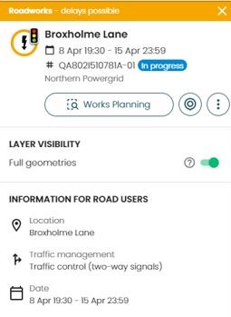
Click on the icon and you can see who the works belong to, what traffic management if any they will be using and their planned dates
How to search and add a date range
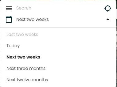
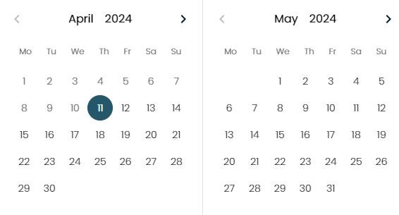
You can search by street name, area or postcode and use the filters on one.network to change the date range of your search either by choosing from the calendar or from the preset list
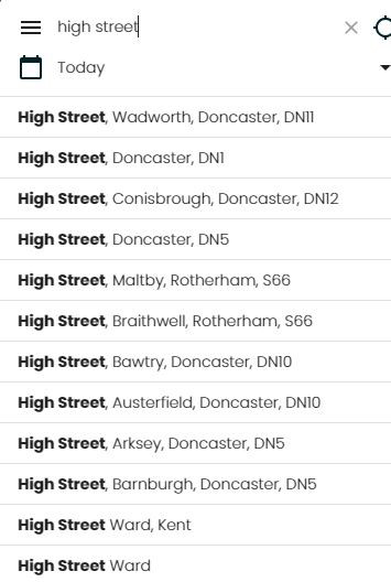
Once you start to enter a street name in the search bar, a list will populate and you simply select the one you want, then you can move around the map or zoom in or out to view any planned works
Live Traffic
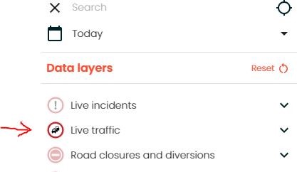
By clicking on the 3 little lines you can view many other filters which are available including live traffic congestion:
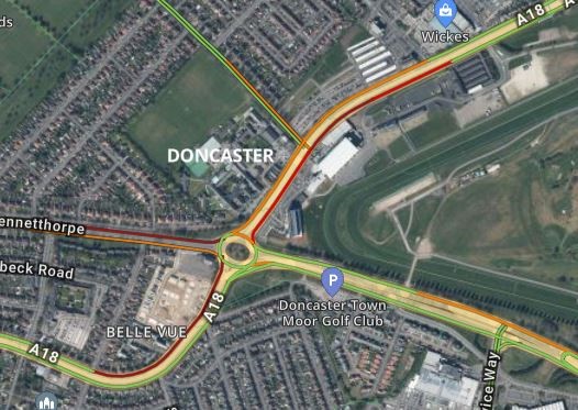
This adds red, amber and green lines to the roads which shows you where is busy at the moment, just click on the icon to turn it on and off
Other filters
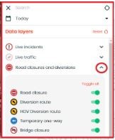
Using the filters on lets you see lots of information including winter gritting routes, road closures and their diversion routes, plus events and bus stop locations.
Simply click on the arrow at the right and toggle on and off those that you would like to see after turning on the filter by selecting the icon on the left
Road Closures
When someone applies to close a road in Doncaster, we plot the details on one.network
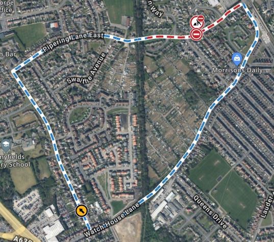
The red dotted line shows where the road is to be closed and the blue dotted line shows our agreed diversion route for all vehicles to use to get around the closure
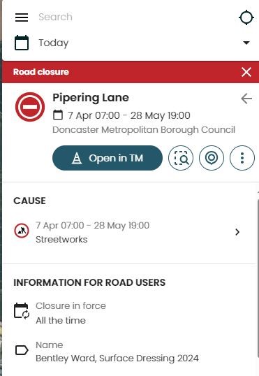
If you click onto the closure it will tell you the dates, the exact location and who is carrying out the work. You can also view a copy of the legal order document for the closure
We hope that you find this useful and don't forget , you can set up an alert to receive an email containing details of works due to start in your area
Downloads & Resources
Display your introduction over featured image?: No


